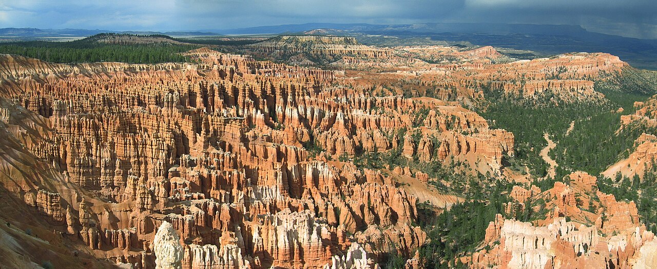
Bryce Canyon: hoodoos at sunrise
Bryce is not really a canyon, and its famous residents are not really rock formations — they are a crowd. Thousands of orange stone figures stand in a natural amphitheatre, and at sunrise, when the light comes through them, they look lit from inside.
First, the cold
Bryce sits at 2,700 metres, higher than any other park on this trip, and a late-September dawn was minus two degrees with a wind that found every gap in our layers. We had driven up from Zion the night before (previous note) and nearly talked ourselves out of the alarm. Do not talk yourself out of the alarm. Sunrise Point at first light is the single best hour in Utah's parks, and it is not close.
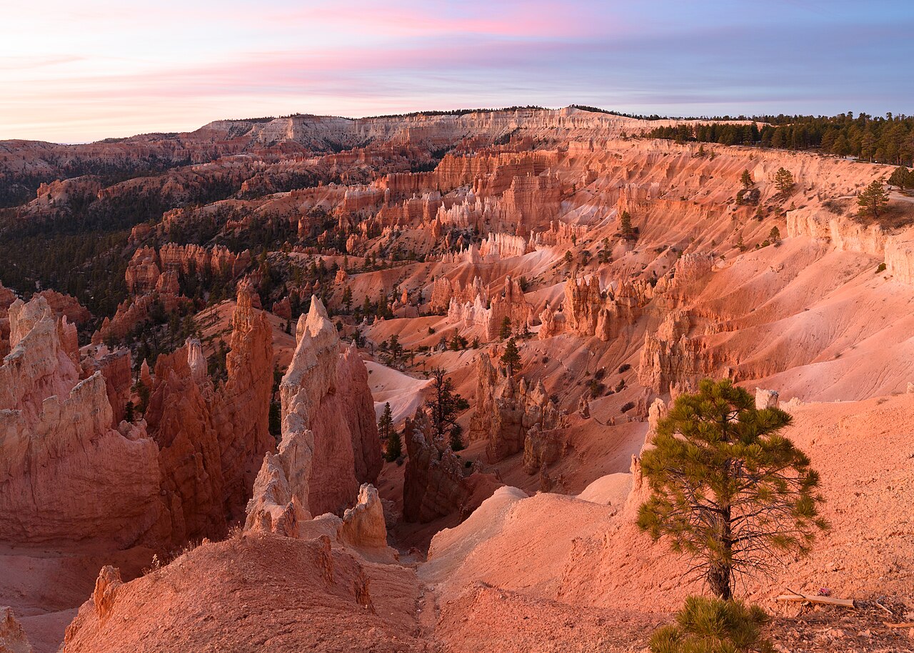
The geology, briefly: the hoodoos are what is left when frost — Bryce gets around 200 freeze-thaw cycles a year — wedges apart the pink cliffs of the Claron Formation faster than rain can wash them away. The result is spires, fins and windows in sherbet colours, eroding at something like a metre a century. The Paiute name for the place translates, roughly, to "red rocks standing like men in a bowl." Stand at the rim at dawn and you will not improve on it.
Down among them: the Navajo Loop
From Sunset Point the Navajo Loop drops into the amphitheatre through a slot called Wall Street — the only slot canyon in Utah with Douglas firs growing out of its floor, reaching for a strip of sky. The trail switchbacks down between the fins and then wanders a silent maze of hoodoos at close range: Thor's Hammer, the Two Bridges, formations like chess pieces and cathedrals and melted candles.
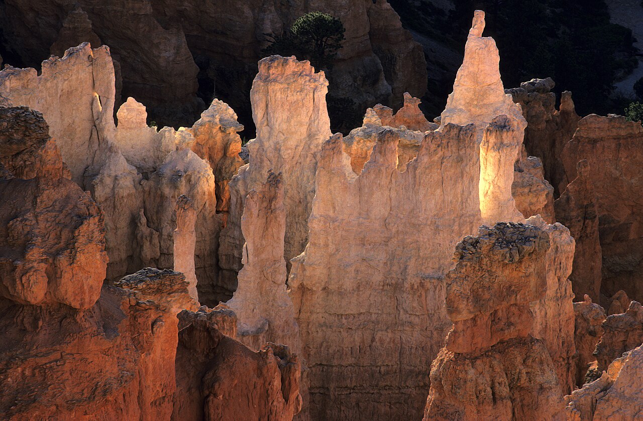
Combine the Navajo Loop with the Queen's Garden trail for a figure-eight of about five kilometres — the park calls this the best short hike in Bryce, and for once the superlative is earned. We were down and back up by ten, drinking coffee at the lodge while the day's first tour groups queued for the viewpoint we had had to ourselves.
The rim, afterwards
With the hike done early, the park's 29-kilometre rim road becomes a lazy afternoon: Bryce Point for the full sweep of the amphitheatre, the natural bridge (a misnomer — it is an arch) farther south, and Rainbow Point at the end of the road, the highest overlook in the park. On a clear day you can see the Grand Canyon's North Rim a hundred and fifty kilometres away, which closes the loop on this whole trip rather neatly.
Practical notes
Altitude: 2,700 m is real. The loop's climb back to the rim will remind
you. Walk slowly, drink more than you think.
Layers: dawn at the rim is winter; noon in the amphitheatre is summer.
Dress for both, hours apart.
Ice: the Navajo Loop's shaded switchbacks hold ice late into spring and can
close Wall Street entirely. Check trail status at the visitor centre.
Stay: one night is enough for the greatest hits; two if you want the
Peekaboo Loop as well. Book the lodge or the town of Bryce Canyon City early — there is
nothing else for miles, which is rather the point.